Chances good for an early spring
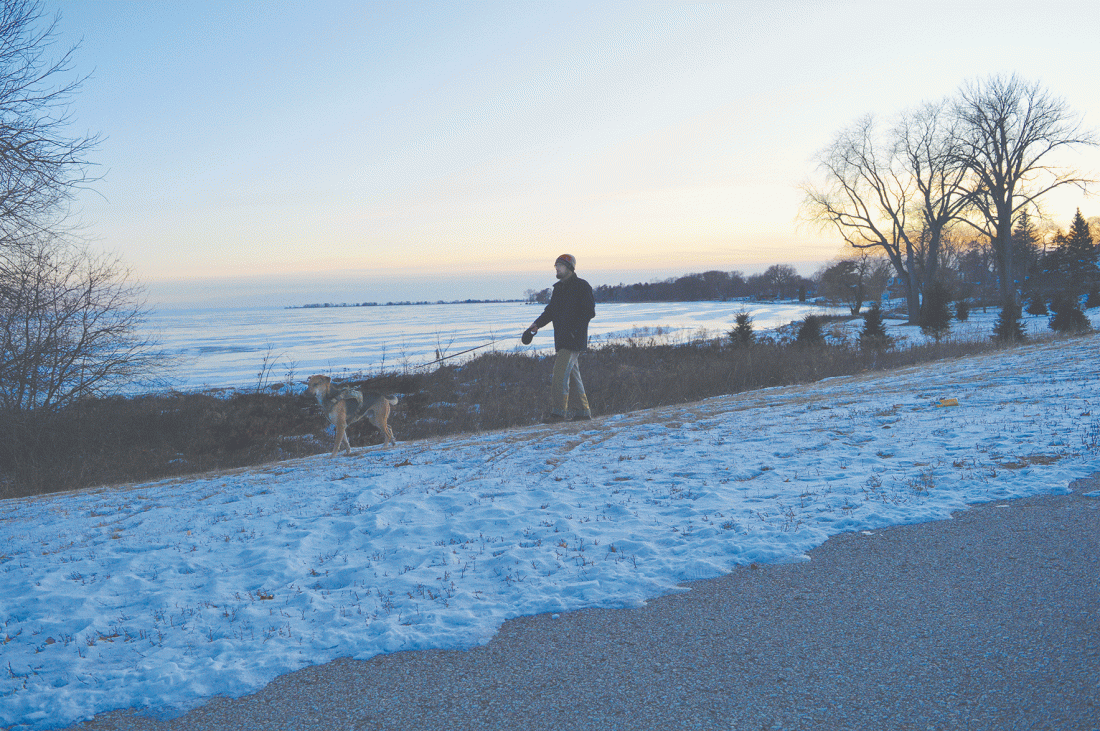
Caroline Carlson | Daily Press Despite the recent cold snap, National Weather Service Meteorologist Matt Zika cautions community members to remember ice conditions aren’t what they’ve been in recent years. Above, Chad Weissert of Escanaba walks his dog Bear along the lake Friday evening.
ESCANABA — As winter drags on, National Weather Service Meteorologist Matt Zika reminds that there’s no actual scientific correlation between the length of winter and whether a groundhog sees his shadow today.
“But if there’s ever a year ‘he’s not seeing his shadow’ and we’re getting an early spring, this is probably it, because we haven’t had much of a winter yet,” Zika admitted.
People in the U.P. generally agree this winter has been mild. Zika said it’s been so mild, in fact, that November 2020 through January 2021 ranks among the top five warmest U.P. winters in nearly 100 years.
So far this winter’s snowfall is also down dramatically, with only 12 inches recorded in Escanaba, compared to 60 inches last winter.
Zika cautions there’s no guarantee mild temperatures will continue, as U.P. winters can stretch over a six month period from November to April. Still, temperatures this past November and December were six degrees above average, and January temperatures were above average by seven degrees.
While some recent days have been in the teens, Zika points out it’s still warmer than typical weather this time of year. With temperatures so mild up until just recently, though, it’s tough to acclimate.
“The fact that we made it till the end of January before a lot of areas saw below-zero temperatures is really phenomenal,” said Zika.
Chronologically speaking, the meteorologist said temperature patterns are expected to go downward toward the end of January each year, then climb slowly back up. He noted Jan. 28 was probably the coldest day of the winter thus far, aligning with the pattern’s projection.
While signals point to the potential for Feb. 7 – Feb. 14 to be one of the coldest weeks of winter, Zika said overall, the weather pattern for the second half of winter is likely to be similar to that of the first half.
Signals indicate the first week of February will probably be in the 30s, with the second week likely pretty chilly across the upper Great Lakes. Daytime temperatures can be expected in the single-digits and teens, with nighttime temperatures dropping below zero. After that, temperatures will likely return to the milder side, with the exception of a chilly day or two, here and there.
By the end of February, Zika said the average high temperatures should be in the 30s, climbing close to 40 degrees by the end of March.
While the vast majority of Aprils have experienced below-normal temperatures over the past 20 years, the meteorologist cautions it’s too early to say how it will go.
According to Zika, the most important thing people need to be aware of regarding winter weather is how warmer temperatures correlate with a lack of ice.
“Don’t just look at the calendar and assume ice conditions are what they’ve been over the past several years,” warns Zika.
Local News
Strings on the Bay kicks off season with new director
ESCANABA – Bay College recently announced a new season of Strings on the Bay, its annual chamber music concert ...
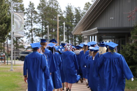
Bay College celebrates Class of 2026 at commencement ceremony

Escanaba City-Wide Rummage Sale returns this weekend
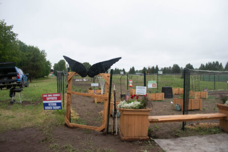
Raven Wood Gardens helping local veterans through garden therapy
Undocumented immigrant from Mexico arrested in Escanaba
ESCANABA — An undocumented immigrant from Mexico has been arrested in Escanaba by a Sault Ste. Marie Station ...