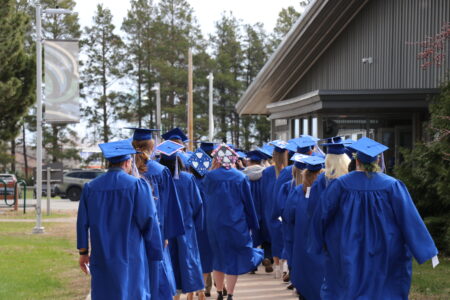
Warmer weather predicted into autumn
IRON MOUNTAIN — Normal weather patterns are predicted for July in the Upper Peninsula, including summer thunderstorms, while the long-range forecast suggests above-average temperatures extending into fall, according to the National Weather Service.
“A broad coverage of above-normal temperatures is favored throughout much of the U.S. during July-August-September, but probabilities vary regionally,” forecaster Brad Pugh said.
For the Upper Peninsula, the Climate Prediction Center calls for a 42% chance of above-average temperatures through September and just a 25% chance of below-average.
The precipitation outlook for the region is mostly neutral. But with La Nina conditions persisting, below-normal precipitation is expected for the Great Plains and western Corn Belt, possibly reaching into the far western U.P. and the western half of Wisconsin, Pugh said.
The latest U.S. Drought Monitor shows abnormally dry conditions in parts of northern Wisconsin, including Florence and Forest counties, along with Gogebic County at the western end of the U.P. There is exceptional drought in parts of the southwestern U.S., which may be intensified by a long La Nina.
According to the journal Nature, the current La Nina started around September 2020 and the World Meteorological Organization predicts a 50% chance it will last into winter. La Nina, the flip side of El Nino, is the periodic cooling of the central Pacific Ocean that affects weather patterns around the globe. Having two consecutive La Nina winters is common, but three in a row is relatively rare.
While no two La Nina events are alike, the general pattern for the western Great Lakes area favors warmer falls and snowier winters.
Local News
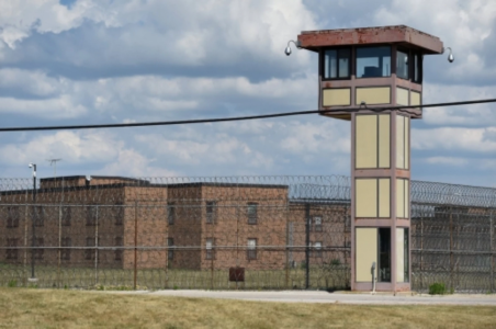
‘A death sentence’: Prison conditions under fire after third death at Women’s Huron Valley

Flag Day ceremonies in Esky and Gladstone

MSP promotes troopers to serve at Gladstone Post and Manistique Outpost
MIOSHA reports Daggett farm worker death
DAGGETT — The Michigan Occupational Safety and Health Administration (MIOSHA) has reported the death of a ...
Strings on the Bay kicks off season with new director
ESCANABA – Bay College recently announced a new season of Strings on the Bay, its annual chamber music concert ...