Forecast for UP winter favors rougher than average
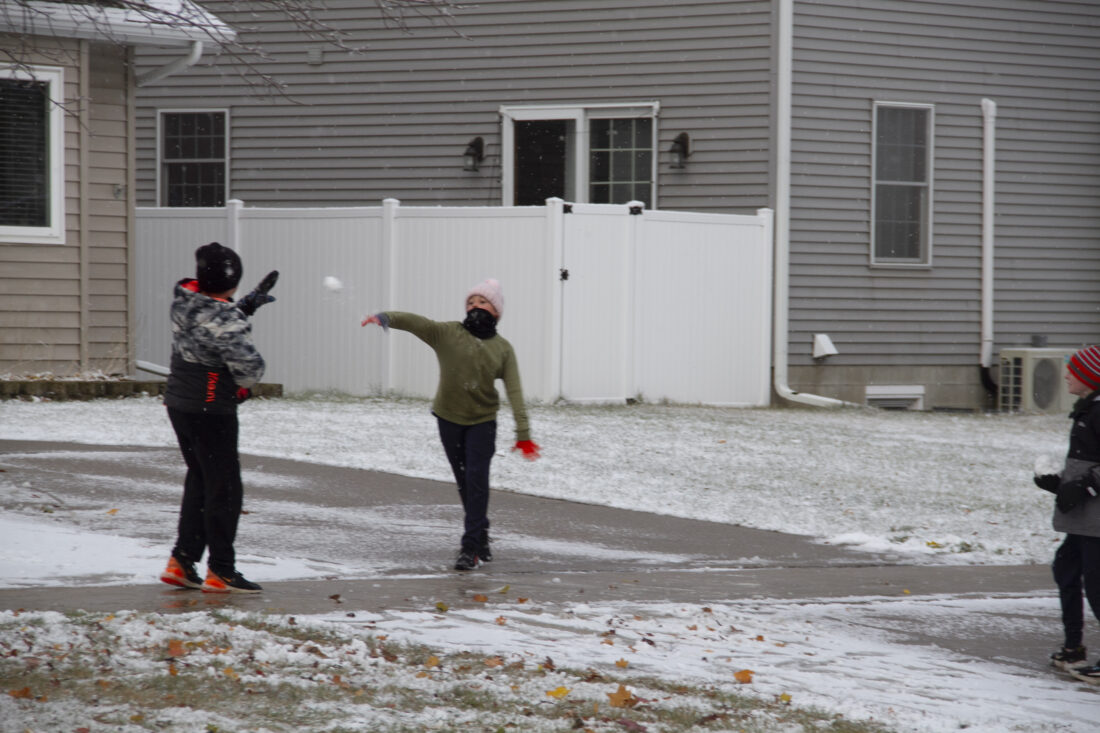
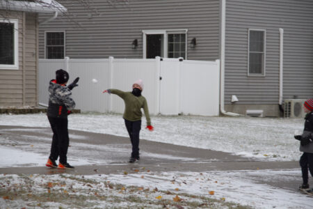
On Monday — the first day this fall that snow stuck to the ground in Escanaba — Robert Lee gently lobs a snowball toward Cedric Guindon, who raises a mittened hand. (R. R. Branstrom | Daily Press)
IRON MOUNTAIN — AccuWeather’s winter forecast predicts above-average snowfall and below-average temperatures for the Upper Peninsula and northern Wisconsin.
Temperatures are expected to be a degree or two below normal from December through February, according to AccuWeather meteorologist Paul Pastelok.
“It can be an intense stormy winter for areas of the country, particularly across the Midwest, Great Lakes, Ohio Valley, Northeast and parts of the Mid-Atlantic,” Pastelok said.
The National Weather Service agrees — somewhat — putting its forecast odds slightly in favor of a snowy U.P. winter. For the period from November through January, the NWS has a neutral outlook on temperatures.
AccuWeather predicts December could be especially active around the Great Lakes as blasts of cold air fuel lake-effect snow. Frigid air may reach its peak in February, Pastelok said.
The forecasts are driven, in part, by expectations for La Nina, a climate pattern characterized by cooler-than-normal ocean surface temperatures in the central and eastern equatorial Pacific Ocean. La Nina sometimes brings cooler and wetter conditions to the northern U.S., although NWS forecaster Jon Gottschalck said it may be “a short-lived event.”
The U.S. Drought Monitor shows abnormally dry conditions and moderate drought in nearly all of northern Wisconsin, as well as southern Dickinson County and Menominee and Delta counties in the U.P.
The prediction for Saturday’s Michigan firearm deer season opener is a chance of rain and a high in the upper 40s to 50s in the region.
———
Jim Anderson can be reached at 906-774-2772, ext. 85226, or janderson@ironmountaindailynews.com.
Local News
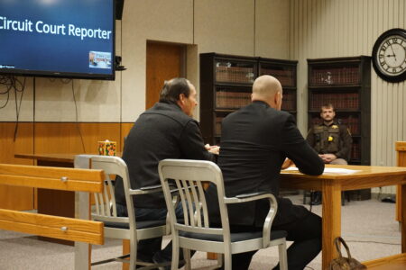
Contractor pleads no contest on unfinished roofing job
Forecast for UP winter favors rougher than average
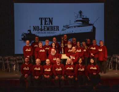
Theater group honors Edmund Fitzgerald on 50th anniversary
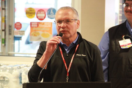
Kwik Trip opens in Escanaba
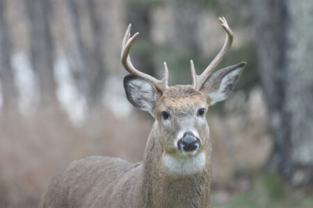
Healthy deer herd reported as firearm season arrives
