Rare U.P. tornado cuts path of damage
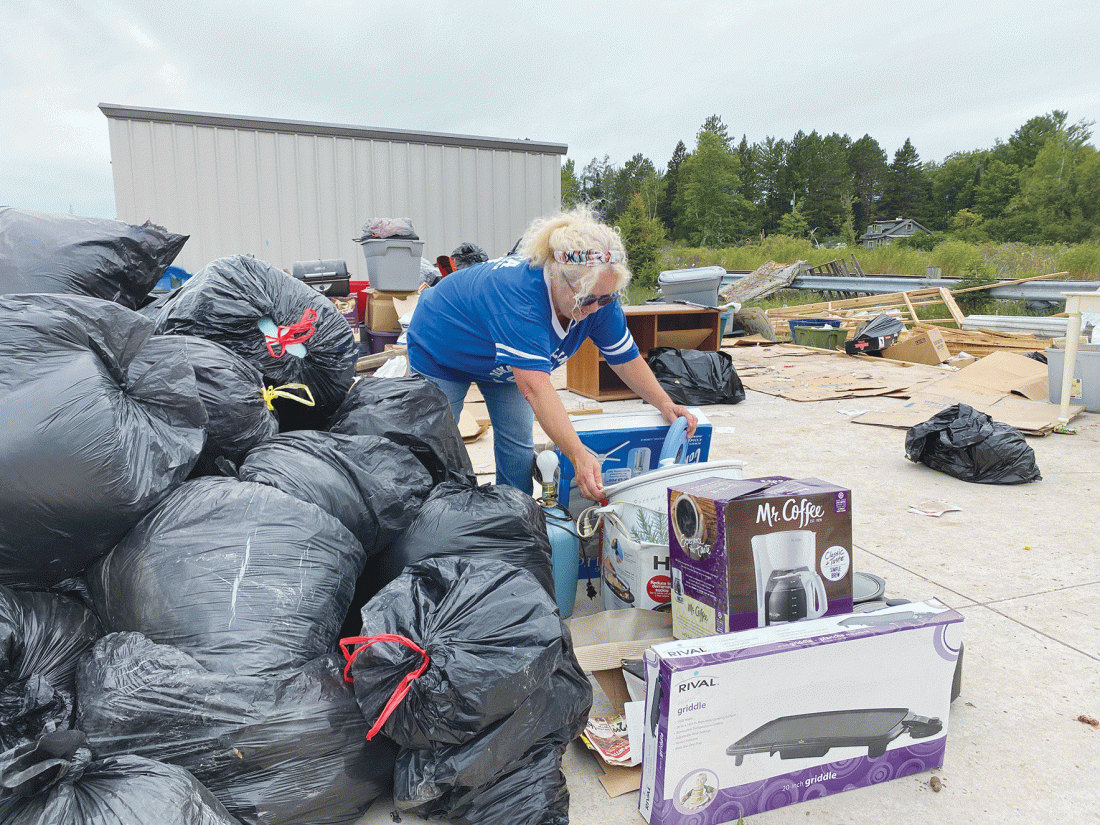
Jordan Beck | Daily Press Ford River resident Julee Vincent helps her neighbor sort through her belongings at Pine Ridge Storage Tuesday. Pine Ridge Storage was hit by a tornado Monday.
WELLS — A tornado touched down west of Escanaba Monday evening, carving a swath through a self-storage facility and toppling trees in its path.
“Tornadoes are very rare up here. They do happen, but they are pretty rare,” said Jaclyn Ritzman, a meteorologist with the National Weather Service’s Marquette office.
According to Ritzman, Monday’s tornado was the result of a “low-topped supercell.” These storms — sometimes called “mini supercells” — are significantly smaller than the supercell storms that are common in the “tornado alley” of the Great Plains states. The tornadoes caused by these smaller storms are typically less intense than those formed by their larger counterparts, but that doesn’t mean the tornadoes can’t cause extreme damage.
“These spin ups happen very quickly so it was really hard to detect ahead of time or to determine ahead of time if there was going to be a tornado touching down,” said Ritzman.
Monday’s tornado touched down shortly before 6 p.m. and tore through the Pine Ridge Storage units, located on U.S. 2 and 41, about three miles west of Escanaba. The on-the-ground path of the tornado was marked by a narrow band of destruction and downed trees and power lines that stretched about 1.6 miles, according to a damage survey conducted by the National Weather Service Tuesday.
Based on the damage, the National Weather Service has determined winds reached maximum speeds of about 95 miles per hour during the tornado. On the Enhanced Fajita scale, the scale used to rate tornado intensity, which runs from EF-0 to EF-5, the tornado was an EF-1.
“It looked like it was only (on the ground) for a minute or two, it wasn’t a very long track situation. Like I said, it’s just a very brief spin-up,” said Ritzman.
Monday’s twister was actually the second tornado to hit the Upper Peninsula this year. The first occurred on Aug. 9 in Iron County.
“We have had a very active summer if you will. I think a lot of us have seen a lot of rainfall and then severe weather intermittently as well,” said Ritzman, who noted that it is still very rare for tornadoes to hit the region.
While tornadoes are unlikely, the region may not be done with stormy weather. The National Weather Service predicts cooler, more seasonable temperatures are likely through Wednesday. On Thursday, a storm system is expected that could bring strong winds to the area, but these winds are not expected to cause tornadic activity.
Local News
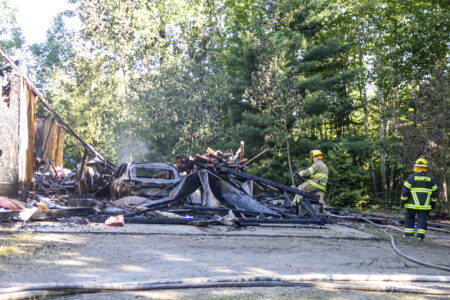
Home destroyed by fire near Vagabond
Crash proves fatal in Schoolcraft County
SCHOOLCRAFT COUNTY — A Germfask man died as a result of a crash involving a dirt bike and a parked pickup truck ...
Peninsula Point Lighthouse: A beacon that stands the test of time
One arrested after reckless driving incident in Escanaba
ESCANABA — A man was arrested early Monday morning following a reckless driving incident. At 2:43 a.m. on ...

Shuttling to pancakes (and other original recipes)