Bitter cold to persist at least until weekend
Polar vortex brings dangerous wind chills
-
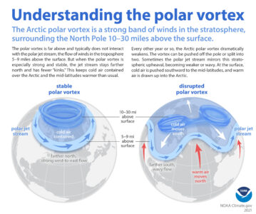
- This graphic explains how the polar vortex can diverge from its usual containment at the pole and send low pressure south. (Courtesy of National Oceanic and Atmospheric Administration)
-
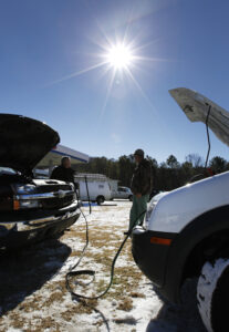
- Two men in Alabama jump-start a vehicle in January 2014 after a polar vortex swept into the southern United States with record-low temperatures. As the country is experiencing another polar vortex right now, people should prepare for car trouble and more. (AP Photo/Butch Dill)
-
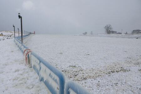
- Balls of ice cover the Grand River channel at Grand Haven State Park in Grand Haven on Monday. Effects of the cold continue to be seen through the region this week. (Joel Bissell/Kalamazoo Gazette via AP)
-

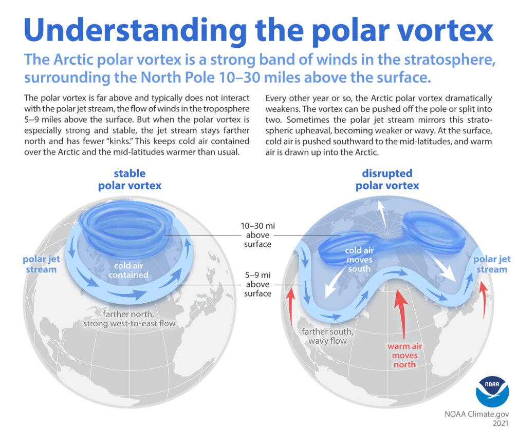
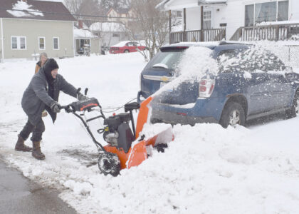
- A person clears snow from their driveway during a winter storm warning in Walker, Mich. on Monday. (Joel Bissell/Kalamazoo Gazette via AP)
This graphic explains how the polar vortex can diverge from its usual containment at the pole and send low pressure south. (Courtesy of National Oceanic and Atmospheric Administration)
ESCANABA — This week’s frigid weather isn’t expected to be a brief cold snap to be taken lightly. Residents would be best advised to be minimize exposure and be prepared against effects of the plunging polar vortex through the end of January.
While the term “polar vortex” became popularized around 10 to 15 years ago, it is not a new phenomenon. Polar vortexes exist as low-pressure cones that swirl around both the North and South Poles in the stratosphere. Usually, they stay contained at the poles, and the cold air they carry does, too. But sometimes, due to weather changes and fluctuations in the polar jet stream, a vortex expands or is disrupted. When this happens, the low pressure, cold air and bitter winds from the polar vortex are funneled out of its usual boundaries, creating unusual and uneven conditions in the United States and elsewhere.
The National Weather Service (NWS) pointed out a few dangers of the cold airmass that snuck into the area yesterday: “first are surface temperatures below zero for most of the region and even below minus 10 Fahrenheit in parts of the interior west half; second, the cold air combined with lingering elevated pressure gradient forces are creating dangerously cold wind chills,” wrote the NWS Tuesday morning.
Indeed, at the Delta County Airport, the air temperature was recorded at minus nine degrees F around 9 a.m. on Tuesday morning, and the wind chill was minus 30.
Wind chill is based on the rate of heat loss from the body, according to the NWS. People and animals are affected not simply by air temperature; danger increases as the wind chill drops.

Two men in Alabama jump-start a vehicle in January 2014 after a polar vortex swept into the southern United States with record-low temperatures. As the country is experiencing another polar vortex right now, people should prepare for car trouble and more. (AP Photo/Butch Dill)
Frostbite — the freezing of skin and the body tissue just beneath it — is possible in just 15 minutes of exposure when the wind chill value is at minus 25 degrees. Hypothermia — dangerously low body temperature, which can kill — can be experienced at higher temperatures, even between 30 to 50 degrees. Signs of hypothermia are shivering, memory loss, disorientation, slurred speech, and drowsiness; a sufferer should be given immediate medical attention and warmed slowly with dry clothing, blankets and warm liquids.
Exposure and risks arise unexpectedly when people find themselves in unplanned emergency circumstances — the car goes off the road or breaks down, a person gets locked out of their house, the heat stops working. Since these situations are accidental, all people should prepare themselves for when the unintended befalls them.
When stepping outdoors — whether it be for an errand, work, or just popping to the mailbox — don’t do it without dressing for the weather. Even if a person doesn’t plan on being outside long, accidents happen — slipping and becoming incapacitated and stuck outside until someone can help will be even more unpleasant without a coat.
Drivers should carry in their vehicles any items that would be useful when stranded, crashed or disabled. A shovel, ice scraper, cat litter, first aid kit, flashlights, jumper cables, drinking water, a basic toolkit, nonperishable food, blankets, a phone and charger are all wise supplies to have on hand.
Home heating can fail in extreme cold, and service technicians can’t respond to every call immediately. Therefore, preventative measures are advisable.

Balls of ice cover the Grand River channel at Grand Haven State Park in Grand Haven on Monday. Effects of the cold continue to be seen through the region this week. (Joel Bissell/Kalamazoo Gazette via AP)
One occurrence that homeowners can usually fix or prevent themselves is simply the buildup of ice on air intakes and boiler venting exhausts of high-efficiency boilers and furnaces.
“Before you spend hundreds of dollars of calling a heating guy, you could maybe save yourself a call by making sure there’s no frost or ice built up on those vents,” said Aaron Berger, service technician and dispatcher with heating, plumbing and HVAC contractor Berger & King.
He also advised on a few ways people can keep pipes from freezing and lines from breaking.
Fortunately, the area currently has a good amount of snow on the ground to help insulate, but in areas that aren’t well covered or supplied with much heat, people can cover those spots with straw and/or shovel snow on top. The insulating effect keeps freezing temperatures from permeating deeply.
Mobile homes and other poorly-insulated structures tend to be at increased risk for frozen pipes. But to prevent such an eventuality, pipes may be wrapped in “heat tape” — an electric warming cable.
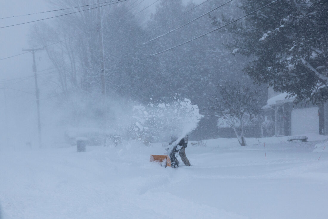
A person clears snow from their driveway during a winter storm warning in Walker, Mich. on Monday. (Joel Bissell/Kalamazoo Gazette via AP)
Another tip Berger offered to those with mobile homes and anyone worried about frozen pipes is to keep water trickling from faucets. That movement in the lines can help.
As far as home heat, residents should keep registers, radiators and electric heaters clear.
“The other thing they could check on a forced air furnace, is make sure your filter is changed so it’s not dirty, because you want good airflow through that furnace. And if you have a dirty filter, it can … kick off the furnace, and then you’d have no heat because you didn’t change your furnace filter,” Berger added.
Understanding the danger of extreme cold, local schools were closed on Tuesday.
The terrific chill will continue for about a week, with the “coldest air of the season” arriving tomorrow night, NWS predicts. Temperatures below minus 15 and wind chills near minus 35 are likely from Thursday night until Saturday morning in Keweenaw, Ontonagon, Houghton, Baraga, Marquette, Alger, Luce, Gogebic, Iron, Dickinson, Menominee, Delta and Schoolcraft Counties, stated NWS upon releasing a “hazardous weather outlook” for the area.
An “extreme cold watch” is in effect in Keweenaw, Ontonagon, Baraga, Marquette, Gogebic, Iron, Dickinson, Menominee and Houghton Counties from
Thursday to Saturday.
In Escanaba, the coldest day is expected to be Friday. As of Tuesday evening, the predicted high for Friday in the city is minus 2.
Snow is also expected in some areas, though not in huge amounts.
Because Lake Superior is mostly ice-free at present, the air may gather moisture from its surface, producing lake effect snow in the path of wind travel. Heavy freezing spray on the shores is expected.
Local News
Blizzard warning to take effect 5 a.m. Sunday
As what is being called a “potentially historic blizzard” bears down on the region, the National Weather ...

Nessel: verdict brings ‘long-awaited justice’ in Corwin case

Millionaire tax proposal for Michigan schools pulled from 2026 ballot plans

Four visitors fined, banned from Pictured Rocks after vandalism incident
Major snowstorm expected to slam region this weekend
Daily Press office closed today
ESCANABA - The Daily Press office is closed today due to inclement weather. Thank you for your understanding. Stay safe!