Parts of UP could see blizzard conditions
The National Weather Service is predicting blizzard conditions across portions of the Upper Peninsula in the next couple days that could make travel for Thanksgiving “very difficult to impossible.”
The NWS office in Negaunee issued a blizzard warning from 7 p.m. today through 7 a.m. Thursday for Keweenaw, Ontonagon, northern Houghton, Baraga and Gogebic counties. Parts of those counties could see 17 to 30 inches of snow, with wind gusts as high as 55 mph, especially along Lake Superior, the NWS advised.
A blizzard warning also was issued from 7 a.m. Wednesday through 10 a.m. Thursday for Marquette County. Total snow accumulations for that period could be between 8 and 22 inches, with the highest amounts in the terrain of western Marquette County and lowest amounts near Lake Superior and the far southern parts of the county, with “winds gusting as high as 55 mph, highest near Lake Superior.”
Alger County has a blizzard warning in effect from 1 p.m. Wednesday to 7 p.m. Thursday, where the NWS estimates between 10 and 17 inches of snow could fall along with winds gusts as high as 50 mph, again near Lake Superior.
For Dickinson and Menominee counties, the NWS issued a winter weather advisory starting tonight through 6 p.m. Central time Wednesday.
The two counties could see 1 to 3 inches of snow in that period, though northern Dickinson County may get 3 to 6 inches, with wind gusts up to 40 mph, the NWS advised.
The NWS also posted a hazardous weather outlook advisory for Keweenaw, Ontonagon, Houghton, Baraga, Marquette, Alger, Luce, Gogebic, Iron, Dickinson, Menominee, Delta and Schoolcraft counties.
“Snowfall could accumulate at 1-plus inch per hour for several hours tonight over the western U.P., and with blowing snow further reducing visibilities, traveling tonight over the western U.P. will be very difficult to impossible at times,” the office states.
Local News
Parts of UP could see blizzard conditions
The National Weather Service is predicting blizzard conditions across portions of the Upper Peninsula in the next ...
The Daily Press’ plans for Thanksgiving week
ESCANABA — With no mail delivery on Thanksgiving, the Daily Press will not publish a newspaper Thursday. The ...
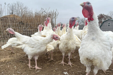
Stores keep prices down in a tough year for turkeys
Graduating MSP class will see five come to the UP
MARQUETTE — Michigan communities will soon benefit from the addition of 50 state troopers who graduated Friday ...

Michigan gun task force: Ban assault weapons, raise minimum buying age